

· AFX Research
Easements Created by a Subdivision Plat: Reading the Map
How a recorded plat puts utility, drainage, and access easements on a lot before anyone lives there, why setbacks are not easements, and how to find the map that governs.
Table of Contents
Most easements on a suburban lot were not negotiated by anyone who ever lived there. They were drawn on a map by a developer’s engineer before the first foundation was poured, recorded once, and inherited by every owner since. That map is a legal instrument, and on a platted lot it is usually the single most informative document in the file.
What a plat can put on your lot
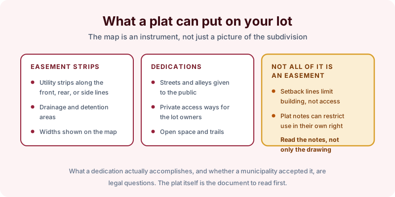
When land is subdivided, the plat that gets recorded typically does several things at once.
It draws easement strips, most often along the front, rear, and side lot lines, reserved for utilities and for drainage. Widths are shown on the map, and a ten foot strip along a rear line is entirely ordinary. It makes dedications, offering streets and alleys to the public and sometimes creating private access ways for the lot owners in common. It may reserve open space, trails, or detention areas.
It also carries plat notes, and this is where careful reading pays off. Notes can restrict use, require drainage patterns to be maintained, or limit fences and structures, and a note can bind a lot without granting anybody a right to cross it.
One distinction is worth keeping straight. A setback line is not an easement. It limits where you may build; it gives nobody a right of entry. Both appear on the same drawing, and confusing the two leads people to think a neighbor has access where none exists.
The plat is a starting point
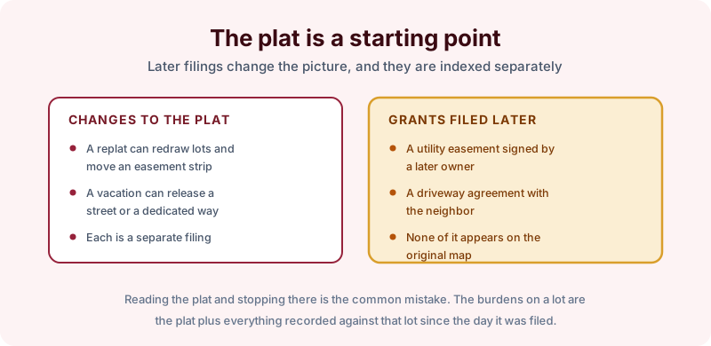
Reading the plat and stopping there is the common mistake, because the map records one moment.
The plat itself can be changed. A replat can redraw lot lines and relocate an easement strip. A vacation can release a dedicated street or way. Each of those is a separate recorded filing, indexed on its own, and a lot’s current burdens depend on them.
Then there is everything recorded since. A utility easement signed by a later owner, a driveway agreement with a neighbor, a right of way granted in 1994 for a sewer extension: none of it appears on the original map. The burdens on a lot are the plat plus every instrument recorded against that lot in the years since it was filed.
Finding the map that governs
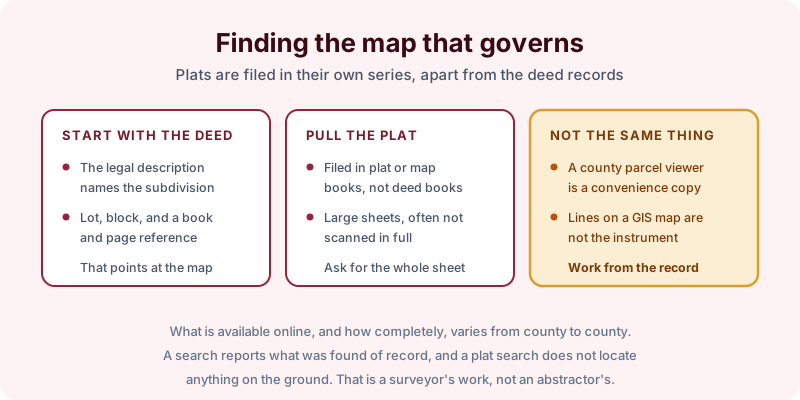
Start with the deed. A platted lot’s legal description names the subdivision and gives a lot and block along with a book and page reference, and that reference points directly at the recorded map.
Plats are filed in their own series, in plat or map books rather than deed books, and they are large sheets that are not always scanned completely. Ask for the full sheet, including the notes and the signature blocks, rather than a cropped view of your lot.
A county parcel viewer is a useful convenience and it is not the instrument. Lines on a GIS map are drawn for assessment and reference purposes, they are not certified, and what is available online varies considerably from county to county. Work from the recorded document.
What a plat search does not do
A search reports what was found of record for the parcel and term searched. On a platted lot that is a strong result, because plat easements are created by a recorded instrument, so there is generally something to find. Rights arising from long use or by necessity are a different matter and may have no recorded grant at all.
A search also does not locate anything on the ground. Whether the shed sits inside the rear easement is a question for a surveyor, not an abstractor. Our process page covers what the work involves and the 2 to 3 business day turnaround.
The takeaway
Pull the recorded plat and read the notes, then check for replats, vacations, and everything recorded against the lot since, and treat the county map viewer as a pointer rather than proof. Start the order online, or send us the address and the county and we will tell you which search term fits and what it would and would not cover before anything is ordered.