

· AFX Research
Flowage and Flood Easements: The Right to Put Water on Land
A flowage easement lets somebody flood your land, permanently or occasionally. Where these rights come from, what the instrument controls, and what the record cannot show.
Table of Contents
Most easements let someone cross land or run something through it. A flowage easement lets someone put water on it. The right is usually held by a public body or a district that built a reservoir, a levee, or a flood control project, and it is defined by an elevation rather than by a strip, which makes it behave unlike anything else in the types of easements a buyer normally encounters. Rural and lakefront parcels carry these far more often than their owners realize, because the instrument was filed two or three generations ago and nothing on the ground announces it.
The right to put water on land
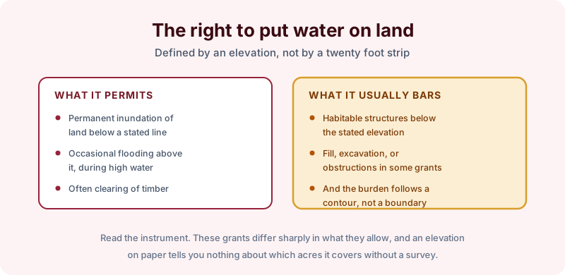
The typical grant allows permanent inundation of land below a stated elevation, occasional flooding of land above it during high water, and frequently the clearing of timber. On the restriction side it usually bars habitable structures below the stated line, and many grants also prohibit fill, excavation, or anything that would obstruct the flow.
The defining feature is that the burden follows a contour. A twenty foot utility strip can be drawn on a plat; an easement expressed as everything below 612 feet cannot, and how much of a given parcel that covers depends entirely on topography. Two neighbors under the identical instrument can be affected very differently.
Read the grant rather than the summary. These documents vary sharply in what they permit, and the difference between a prohibition on dwellings and a prohibition on all structures decides whether a barn or a dock is possible.
Where the right came from
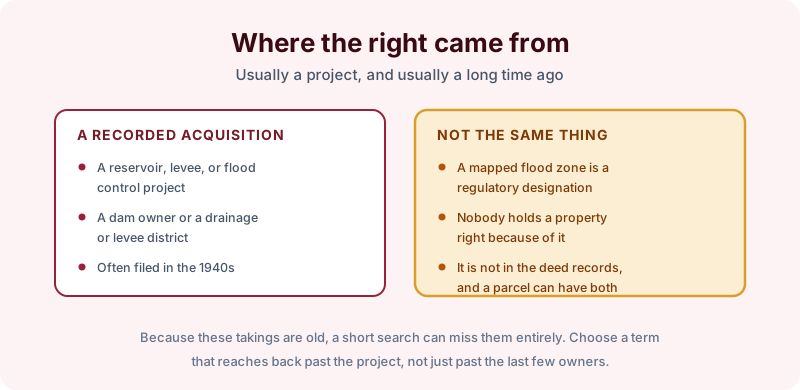
Almost always a project. A reservoir behind a dam, a levee system, or a drainage or levee district acquired the rights it needed across many parcels at once, often in the middle decades of the last century, and the instruments were recorded then.
One distinction is worth stating plainly, because it causes more confusion than anything else here. A mapped flood zone is a regulatory designation. Nobody holds a property right because of it, it is not recorded in the deed records, and a parcel can sit inside a mapped zone with no flowage easement at all, or carry a flowage easement while sitting outside the mapped zone. They are separate facts from separate sources, and only one of them is findable in a title search.
Because the takings are old, the search term matters more than usual. A short search returns the recent deeds and misses the 1948 instrument that actually governs.
What the report can answer
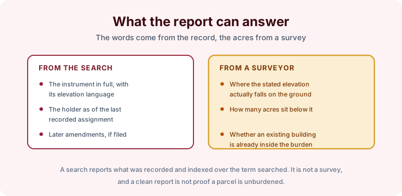
The search gives you the instrument in full with its elevation language, the holder as of the last recorded assignment, and any later amendment or partial release that was filed. Choose a search term long enough to reach past the project era rather than past the last few owners. Turnaround is 2 to 3 business days.
What it cannot do is tell you which acres are affected. Translating a stated elevation into a line on the ground is survey work, and so is determining whether an existing building already sits inside the burden. A search is not a survey and does not locate anything physically. Rights can also arise from long use with nothing filed, and a clean report reflects the record rather than proving a parcel is unburdened. Recording and indexing practice varies by county, and these project-era acquisitions are sometimes indexed under the district or agency name rather than against each parcel.
Where surface water is being moved deliberately rather than impounded, the relevant instrument is usually different, and our note on drainage easements covers that case.
The takeaway
On any parcel near a reservoir, a river, or a levee, order a search long enough to reach the project, get the instrument itself, and then have a surveyor put the elevation on the ground before you plan a structure. Start the order online, or send us the address and the county and we will tell you which search term fits and what it would and would not cover before anything is ordered.